Industries
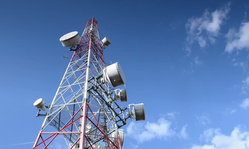
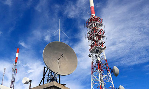
Telecommunications
The telecom industry today faces two major challenges – one of increased consumer demand for optimal quality, and the other of maintaining control on inventory and budget. Altitud specializes in resolving business bottlenecks of such kinds for a telecom establishment through its smart and prompt GIS services.
Our GIS team helps manage, analyze and record spatial data for problem solving, apart from being abreast of the latest changes in technology. Consequently, we are able to offer streamlined GIS services across the globe with much lower turnaround time.
Altitud is one of the few service providers to propose integrated Enterprise Engineering, GIS and Planning solutions to the industry. We provide solutions across network planning and design (FTTx, HFC), network mapping, operations support system, RF planning, customer service and strategic planning. Our diversified service portfolio gives clients a one-stop solution to plan, build and operate telecom networks by integrating with associated telecom solutions.
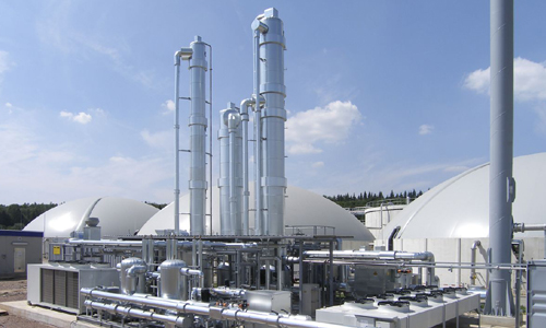
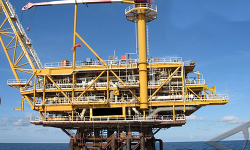
Oil and Gas
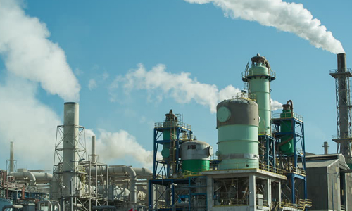
Geospatial information has become the key to the interpretation and decision making process in the Oil and gas industry. This sector requires access to accurate locations of oil and gas lines and location to drill a well to routing the pipelines from the exploration site to the refinery.
Altitud covers the entire life cycle of all oil and gas projects, from exploration to refinement to delivery. Altitud provides powerful, highly accurate conversion service by providing the new standard-setting quality that today's client demands.
We integrate various pipeline data including pipeline corridor data, ILI data, NOC data and pipe profile data with the enterprise database.
Our Engineering & Geospatial services include
-
Plant scan data 3D modeling
-
Land use data mapping
-
Plant asset mapping / Plant GIS
-
DTM / DEM creation rig data mapping
-
GIS Data integration
Utilities
Our innovative solutions, coupled with our in-depth know-how on business and technical issues, help in the systematic use of spatial database(s) to manage infrastructure by leveraging GIS & Engineering. Visualization and mapping, meanwhile, offer a connected concept of your network with respect to your customers and the neighborhood infrastructure.

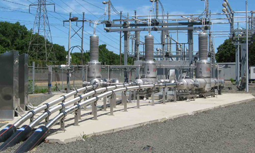
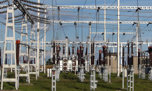
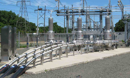
Electric
Electric utilities are currently undergoing a challenge in the development of geo-referenced consumer banks and network databases – elements that are needed for various power distribution solutions like customer profiling system, asset management and trouble call management. A GIS-enabled network, therefore, helps regulate energy audit and load flow pattern.
Using GIS, the electrical network can be redesigned on a satellite image or a vector base chart, with varied features such as zooming, resizing and scrolling. Our GIS team work on the whole data to present it in a digitized manner. For this, we hold GPS survey among electrical consumers and network assets by getting a database of all consumers and their service connections along. Then, we follow it up with helping them with a keen readiness on GIS-based maps.
Our enterprise GIS and Engineering solutions help our clients integrate with other enterprise solutions like ERP, CSC, SCADA, Work Flow and other systems. The team at Altitud has extensive experience in implementing enterprise solutions like Schneider ArcFM, GE SmallWorld, etc.
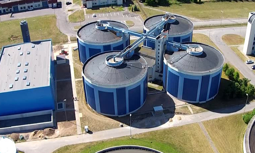
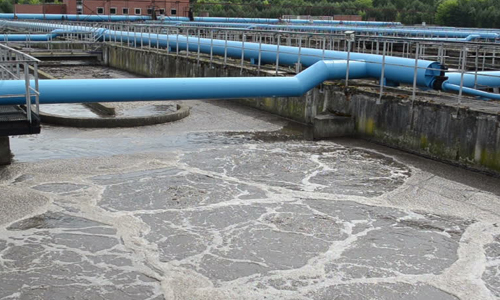
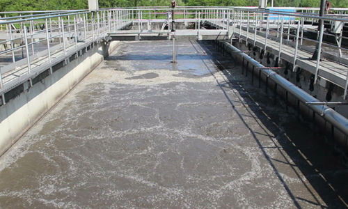
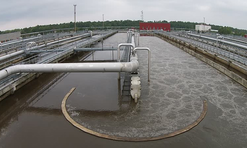
Water and Waste Water
Scarcity of water is the primary challenge for water management and water utilities today. Ensuring access to a clean, reliable water source is critical. To understand impacts to the natural system and preserve water with strong mapping and analytics combined technologies with easy-to- use apps allowspb15 successful management of this resource.
Altitud helps address aging infrastructure, leaks, and the potential for severe main breaks. From protecting a sustainable water supply to delivering safe drinking water, advanced mapping and spatial analytics will answer complex questions and help make informed decisions. Altitud water solutions help identify areas of high risk due to pollutants and others and detect problems before they can occur. Early detection warns of possible water contamination and empower your utility to deliver safe drinking water. Save water. Save time. Save money.
Altitud also manages wastewater and storm water management through its unique solutions.
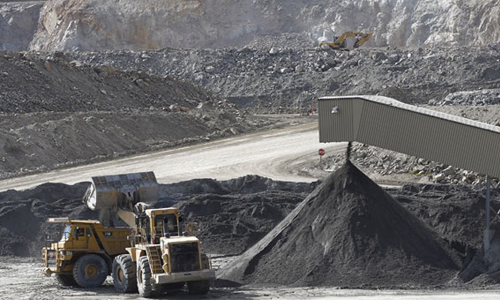
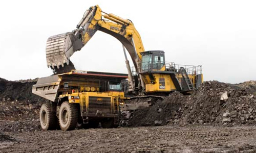
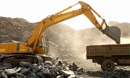
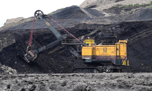
Mining
Our GIS Services integrates several industry applications in the mining sector, and is adept at rapidly performing advanced analysis and visualization of environmental and geologic data.
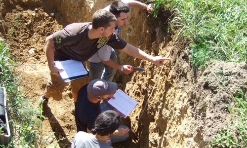
GIS in this sector is inherently spatial, and needs an understanding of the earth’s geology. Altitud offers customizable solutions for Surface and sub-surface investigation and analysis, in addition to GIS services. We help you manage all the phases of various mining functions, with our tools assisting you in gathering, storing and accessing geographic information with ease.
From mineral exploration to mine remediation, Altitud supports decision-making throughout the entire mining life cycle. Offers smart maps for project planning, mine operations, transportation management, and risk analysis. We help geoscientists bring datasets together and accurately calculate economic potential by integrating specialized programs for geophysical and geochemical data, image processing and CAD. Analyze mineral exploration and sample drilling in a spatial context to identify and qualify volume. Manage operations and assets from anywhere anytime.
Health
Geographic information systems (GIS) and other geospatial technologies offer tremendous benefits for the health care industry. Whether used in strategic planning for hospitals, epidemiological studies by public health officials or policy construction by government agencies, GIS is important for accurate and nuanced analysis and decision support.
From the analysis of big data related to patient demographics and insurance claims to facility site location and accessibility to health care, GIS can play a critical role in improving the strategic business decision-making process of heath care organizations large and small.
Altitud's services focus on resolving the unique operating constraints of the healthcare industry. We offer an approach that involves adding information around the patient in question rather than a computerized medical records system that only builds information around individual encounters as a patient has with the healthcare system – something that scatters information, making follow-ups difficult.


Land
Governments today are exploring electronic solutions to offer an efficient survey for title and cadastral database management – more so because defining land boundaries for cadastral or spatial definition for legal and cultural purposes is a legal requirement. The cadastral (or property) layer which represents the real world cadastre now forms the foundation for modern electronic GIS land administration databases – something that underpins good governance and decision making in public and private domains.
Technology today has made representation of spatial outcomes that much easy by making new tools available for the purpose.
Altitud understands the need for an intelligent digital format. Digital images are now a part of electronic database which will generate electronic model of cadaster for administration and operation management. Adopting to this type of historical data into a modern electronic environment is a difficult process we do face issues like many of the plans which are drawn are have poor accuracy but they still have the legal status but still with the best experience possible we do replicate that same survey logic in an electronic process to generate a seamless survey geometry database.
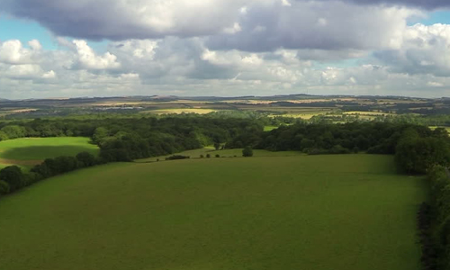

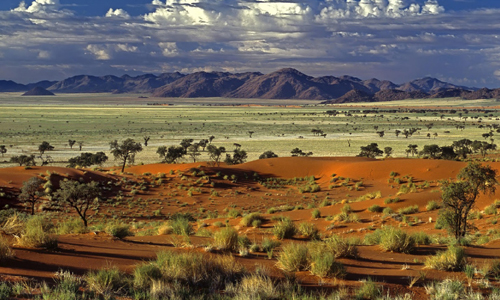
Natural Resources Management
The natural resources of a nation determine its economic health. However, with the exponential growth in world population, these are getting stretched like never before. Management that is best suited for eco-sustainability, therefore, must evolve rapidly.
Our team of GIS experts design tools for exactly this purpose. From having a repertoire of sophisticated tools for remote sensing to facilitating the collection of informative data that can be used to make decisions for eco-sustainability – we do it all. GIS technology is a vital tool used in the mapping process – Using GIS technology, we also generate a range of maps such as:
-
Land cover maps
-
Vegetation maps
-
Soil maps
-
Geology maps
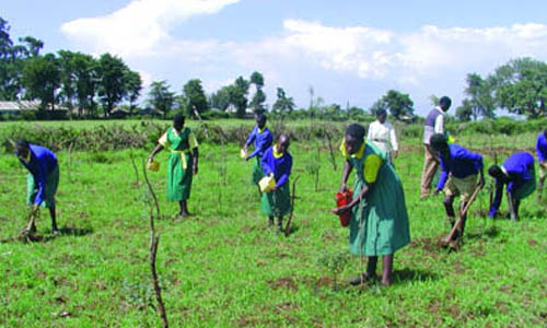
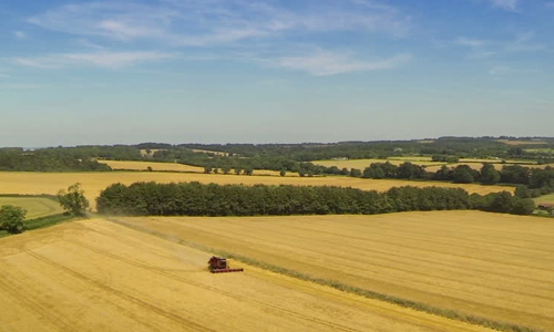
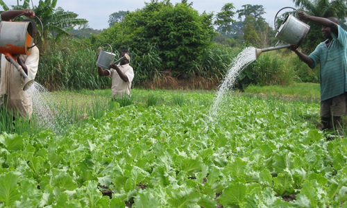
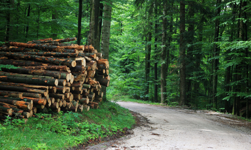
Forest and Agriculture Management
The bad news is that forest cover is getting depleted at an alarming rate. The good news is that it can be regenerated through smart management. With precise GIS data, information on forest cover and the nature of forests in a specific region is only a click away – pivotal to ensure that effective policies are in place to steer the use of forest resources.
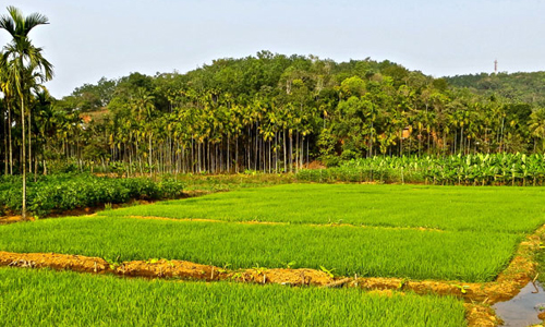
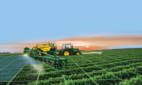
As far as agriculture is concerned, droughts, floods, insects and poor farming techniques have plagued the agricultural community for centuries. So as to manage this we do mapping and quality assessment of soil, crop survey and spatial distribution mapping, water resources and land development mapping.
Geographic Information Systems are incredibly helpful in being able to map and project current and future fluctuations in precipitation, temperature, crop output, and more. Altitud offers the right kind of GIS solutions with mapping and geologic features.
Transportation / Logistics
Research suggests that 80% of business data has a geographical element in it. Integrating GIS to businesses, therefore, only adds value to them. The value chain examines where the spatial information system fits into the information strategy of a firm. The supply chain determines how and when a firm can adopt GIS and adapt to it.
Our GIS solutions create a platform for integrating data from different sources into your value chain. We support all your asset-tracking, scheduling, routing, and dispatching activities. We also regulate the supply chain to allow our clients easy access to the information in question on a single platform.
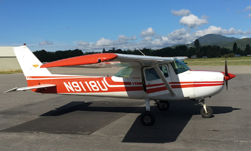
Aviation
The aviation industry is increasing leveraging GIS applications to present geographic data to reinforce safety by eliminating every single scope of error.
Today these applications facilitates the mapping, tracking and management of airfield obstructions at military and civilian airfields from pavement and runway lighting systems, to terminal side facilities, GIS can provide a powerful graphical component to the maintenance of an airport's critical infrastructure.
Modern airports are finding an integrated geographic information system (GIS) can help them to better manage both air- and ground-side operations. Altitud facilitates greater airspace efficiencies, and support a number of security and public information programs, including noise monitoring and real time flight arrival information.


Government & Defense
The use of GIS applications in military forces has revolutionized the way in which these forces operate and function. Military forces use GIS in a variety of applications including cartography, intelligence, battle field management, terrain analysis, remote sensing, military installation management and monitoring of possible terrorist activity.
Location-based data, maps and apps are especially relevant in today’s world when governments are trying to improve decision making, service delivery, and citizen engagement. That GIS and web mapping have an important role to play in cost reduction is recognized by almost all governments. As a result, sharing spatial data of people and systems and sometimes interlinking them for convenience is a frequent practice.
Altitud helps regulate routine governmental operations like land use planning, parcel mapping, road and utility maintenance, green asset management and property management through its GIS services repertoire.